
What was there uses historical images and Google Maps to look at how places have changed overtime. You can add photos to specific locations and then using Google Street View, overlay images from the past and present.
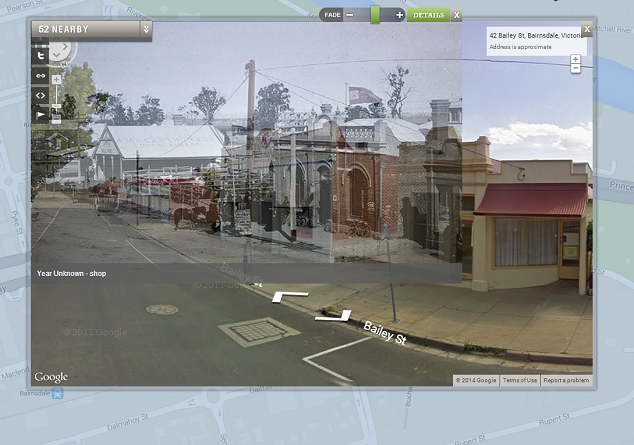
A particularly nice feature of the interface is the option to fade between photographs and the street view image. Anyone over 13 can register with the service and add images, tag by location and year, save locations, and position images to overlay with street view.
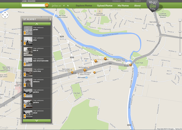
There are some great examples of cities that have thousands of photographs pinned to different locations, including New York which has around 2000 images. Closer to home, the Victorian regional town of Bairnsdale has around 60 historical images pinned to shops and community buildings.
With so many cultural institutions digitising collections and making images freely available online, tools like What Was There give students and teachers the opportunity to connect to local history in new ways. The State Library of Victoria has thousands of out of copyright images of regional towns around Victoria that can be used freely for educational purposes.
Imagine students finding images of their town or suburb’s main street a hundred years ago and comparing it to today? Or even their own house or school? Try searching for your town or suburb name in the SLV catalogue and see what you can find.