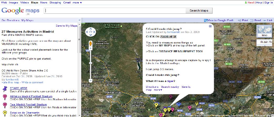
Tom Barrett has created Maths Maps using Google Maps. The maps show the location, and the placemarks explain the math activities (placemarks are colour-coded according to year level, from year 1 to year 6). Each location deals with one topic. For example, there are ‘Measures in Madrid’, ‘Shapes in Paris’, ‘Data handling in Nottingham’, and ‘Addition in Adelaide’. What a fantastic way to interest students in math topics.
Maths Maps is a collaborative project that relies on teachers adding to the maps. So, if you let Barrett know the map you are interested in exploring with your class, he will make you an editor of that map. Have a look at the blog page for detailed information:


