What was there – historical photos and Google Maps

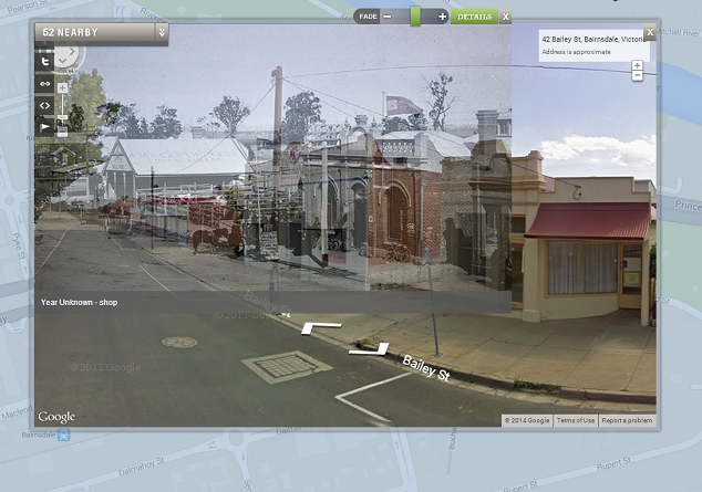
What was there uses historical images and Google Maps to look at how places have changed overtime. You can add photos to specific locations and then using Google Street View, overlay images from the past and present.

what was there 3

A particularly nice feature of the interface is the option to fade between photographs and the street view image. Anyone over 13 can register with the service and add images, tag by location and year, save locations, and position images to overlay with street view.

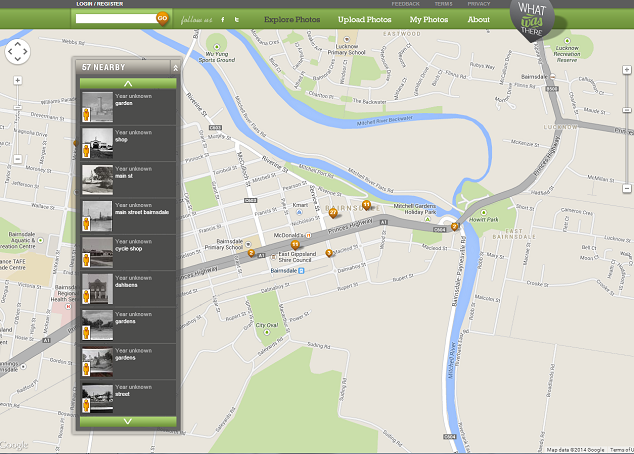
There are some great examples of cities that have thousands of photographs pinned to different locations, including New York which has around 2000 images. Closer to home, the Victorian regional town of Bairnsdale has around 60 historical images pinned to shops and community buildings.

What was there 1

With so many cultural institutions digitising collections and making images freely available online, tools like What Was There give students and teachers the opportunity to connect to local history in new ways. The State Library of Victoria has thousands of out of copyright images of regional towns around Victoria that can be used freely for educational purposes.

Imagine students finding images of their town or suburb’s main street a hundred years ago and comparing it to today? Or even their own house or school? Try searching for your town or suburb name in the SLV catalogue and see what you can find.

Test drive: MyHistro

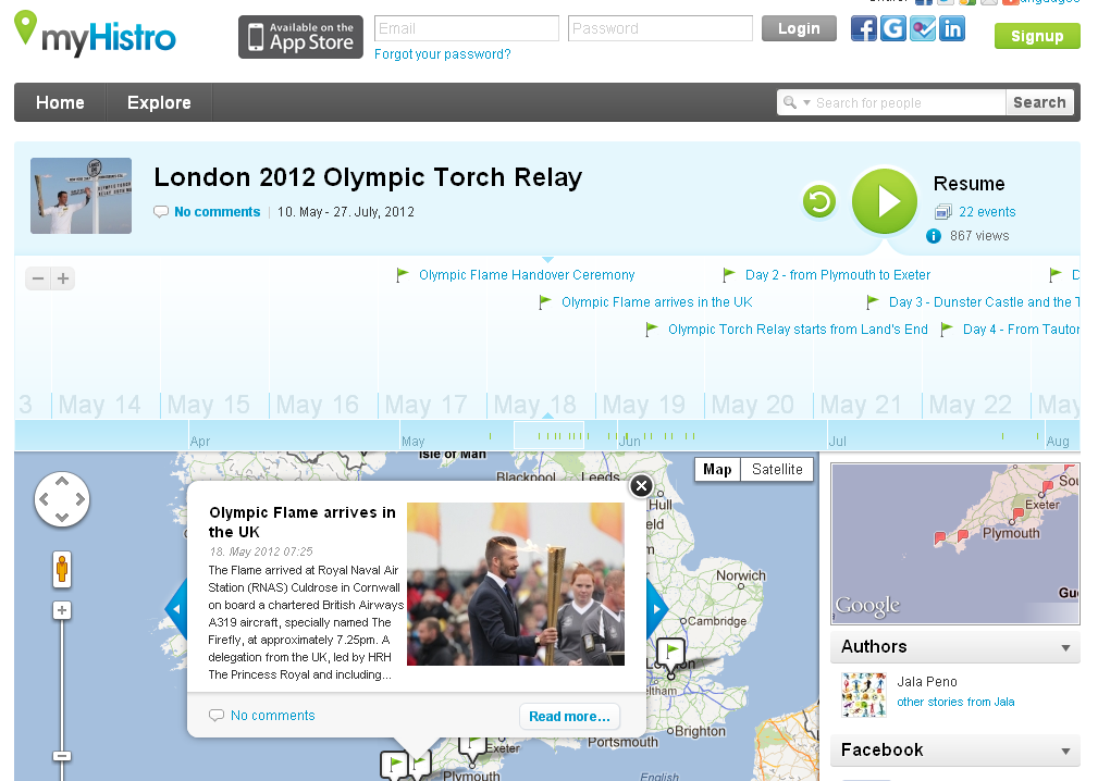
There is a new timeline tool in town! Actually MyHistro is more than just a timeline – it has a  built-in mapping tool too.

MyHistro allows users to build timelines around a theme or story with options for including text, video and photos. Every ‘event’ the user adds to their story can be geo-located on a Google Map. Stories can be developed by individuals or as a collaborative effort; the owner simply invites others to co-author a timeline. Comments are limited to registered users only. Registration is free with unlimited space and number of timelines you can create.

And if that isn’t wonderful enough, MyHistro has the added bonus of allowing your audience to view your ‘stories’ three different ways. Present them in a slideshow format, as a chronological stack or as ebooks with turn-able pages.  Stories can also be embedded into blogs and websites or exported for uploading onto Google Earth.

Have a look at what others have been doing with the tool. The site offers three search options as well as a tag cloud for browsing the gallery. The gallery of stories is growing daily. There is a free app available for iPhone/iPads that allows you to edit your own stories and search others’.

MyHistro

MyHistro was initially blocked by our school’s filtering system because it was classified a social networking site. I asked and had no problem getting it unblocked.

I found it very easy to use once I understood the difference between events and stories. The Help section covered most of the questions I had and there is a new MyHistro blog with useful articles.  I found the Terms of Use were a little confusing; when joining I had to tick a box confirming that I was old enough to use social networking in my country but on reading the Terms of Use it is very clearly written (in all caps!) that users must be 13 years old to register.

I can really see our History and Integrated Studies students using this to map migration stories, global events and issues, the spread of ideas from one culture to the next.  English students could map out story-lines and hero’s journeys (or author’s journeys). I can also envisage uses in health studies such as tracking epidemics.

With so many possibilities you’ll want to pass this one on to colleagues in all subject areas.

Scribblemaps

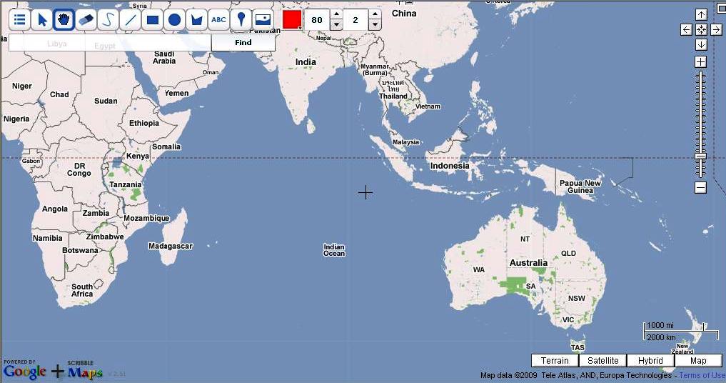
Scribblemaps is a fairly simple tool that uses Google Maps and tools such as the ability to add text, images, shapes and so on.

Scribblemap homepage

Scribblemap homepage

Students can easily map where the action in a book takes place, add an image of the cover and perhaps some images of the suburb or city where the book is set. Maps can be saved and accessed later but it is vital that the code on the address line is saved for the next session. Students do not need to register for the site, but need to enter a password and keep track of their map codes. Scribblemaps is available in twelve languages.

The best part of Scribblemaps is how easy it is to use.